Academic
You research air pollution, its impacts on human health, and the disparities it creates between different groups of people. You may work in academia researching or studying atmospheric chemistry, geography, public health, engineering, or urban planning. We curated these pages of this website just for you.
-
At the Forefront of Air Quality Research Collaborative Efforts, Rooted in Science
Read MoreStarting with our first study in Oakland, EDF has convened a diverse group of partners from industry, academia, local government, health care and community environmental justice organizations to inform our approach and improve our understanding of our findings. These efforts have already produced a series of peer-reviewed studies and user-friendly maps that are supporting efforts by local organizations, air pollution managers, and policy makers develop and implement helping advocate for meaningful pollution reduction reforms.
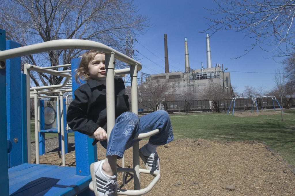
 Bay Area, California
-
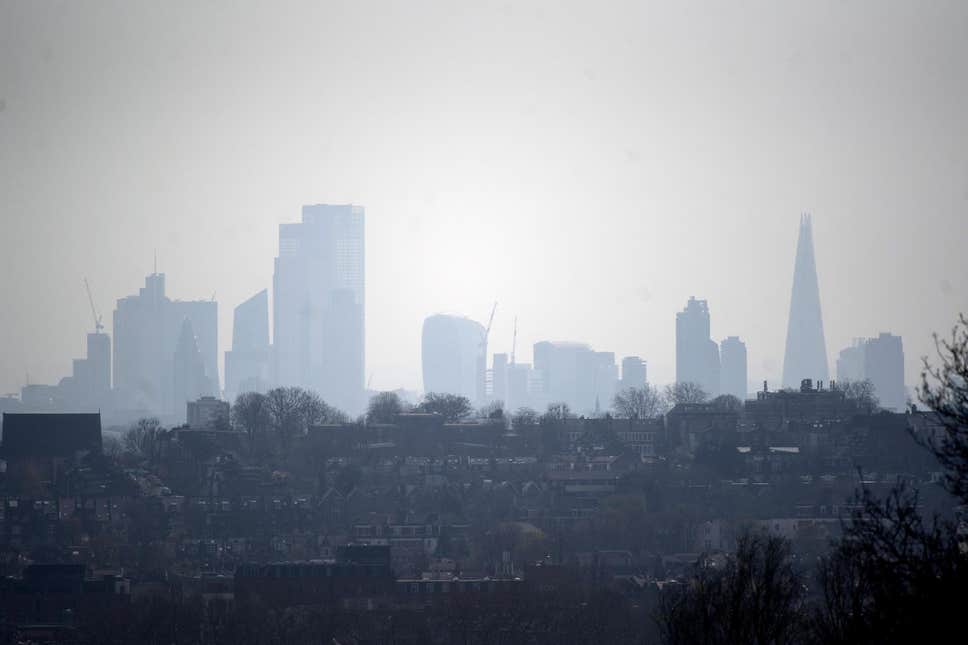
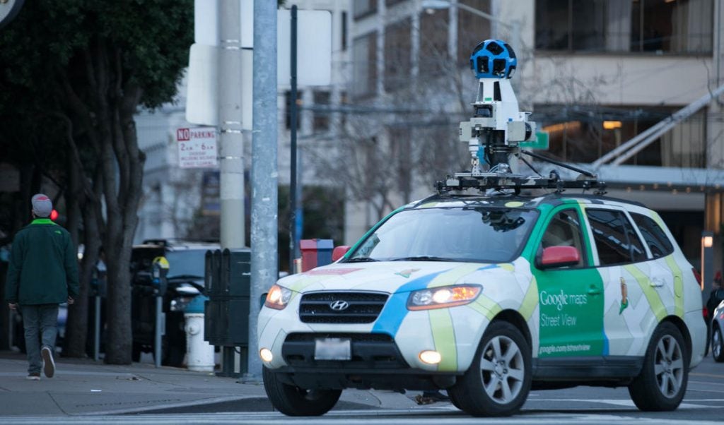
The London Study
Read MoreWith more than 100 lower-cost sensor pods and specially-equipped Google Street View cars, Breathe London complements and expands upon London’s existing monitoring networks. The project aims to help people better understand their local air quality. Read the three takeaways.
-
“I primarily see the world and my research from a systems-level view, using the sustainability tool of life cycle assessment to quantify the environmental impacts of the built environment (BE). In working in the BE space, it is important to examine both the external impacts of the ambient air, but also the indoor air impacts as people spend most of their time indoors.”

-
Finding Pollution Sources
Read MoreAnalysts use a variety of methods, depending on budget, capacity and existing data sources–to pinpoint the sources of pollution. For example, so-called source-based approaches start at the point from where air pollution is flowing and follow emissions as they mix, react, disperse and move through the atmosphere.